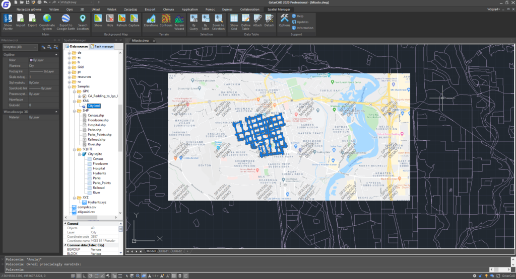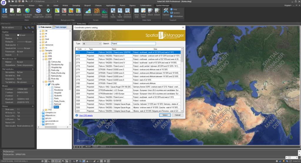

The main features of Spatial Manager Standard:
1. general.
– Import spatial data in GstarCAD drawings
– Coordinate transformation
– Background maps
– Viewer and editor for extended entity data (EED/XDATA)
– Use of hyperlinks in data
– Querying and managing alphanumeric data structure
2 Importing data
– Importing objects into a new or open drawing
– Basic target layer or new target layers using field values
– Applying blocks to points and centroids
– Parameters for inserting blocks from field values
– Filling and transparency of polygons
– Tagging elements during import
– Spatial filter
– Quick import function
– Import data from tables as extended entity data (EED)
3. exporting data
– Publishing to Google Earth
4 Data sources
– Managing your own shortcuts
– Access to spatial data files (SHP, GPX, KML, OSM, GML, etc.).
– Management of user data sources
– Access to spatial data servers (SQL Server, PostGIS, etc.).
– Access to other connections (WFS, ODBC, etc.).
5. background maps
– User maps
– CS object list update
– Base maps for design (road, satellite, hybrid, etc.).
– Map snapshots
Industry: surveying