
Program Features:
Import into GstarCAD files from: Google Earth (KML or KMZ), OpenStreetMap (OSM or PBF), Shapefiles (SHP), GPS, Points (multiple formats), Excel, Access, ESRI ArcInfo®, MapInfo, GML (GML or GZ), PostGIS, SQL Server, SQLite, and from many other geospatial data sources
Export files from GstarCAD to Google Earth (KML or KMZ), Shapefiles (SHP), Points (multiple formats), MapInfo, PostGIS, SQL Server, SQLite, and many other programs
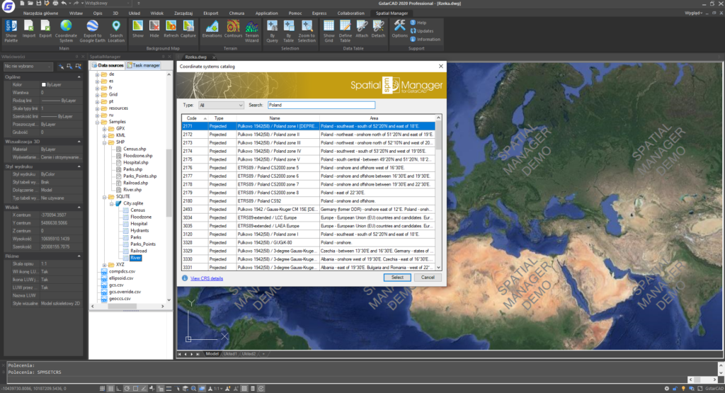
Ability to change coordinates
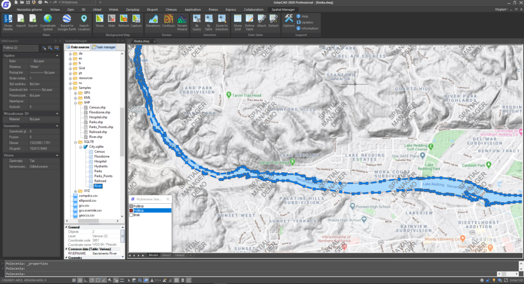
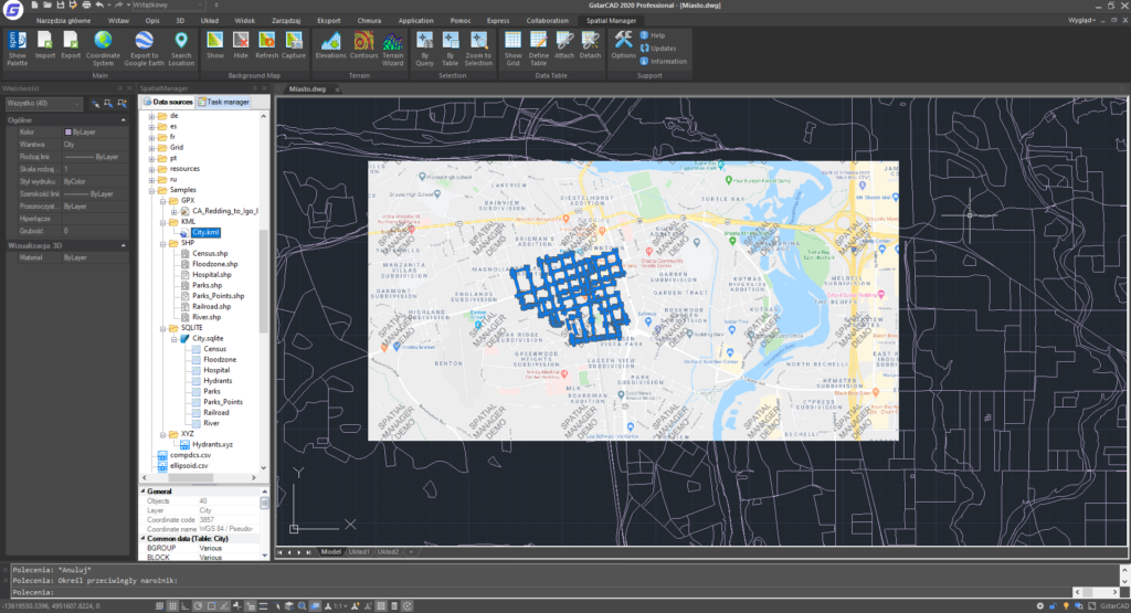
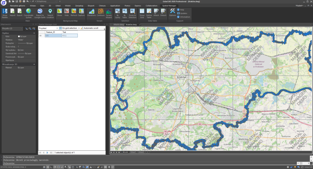
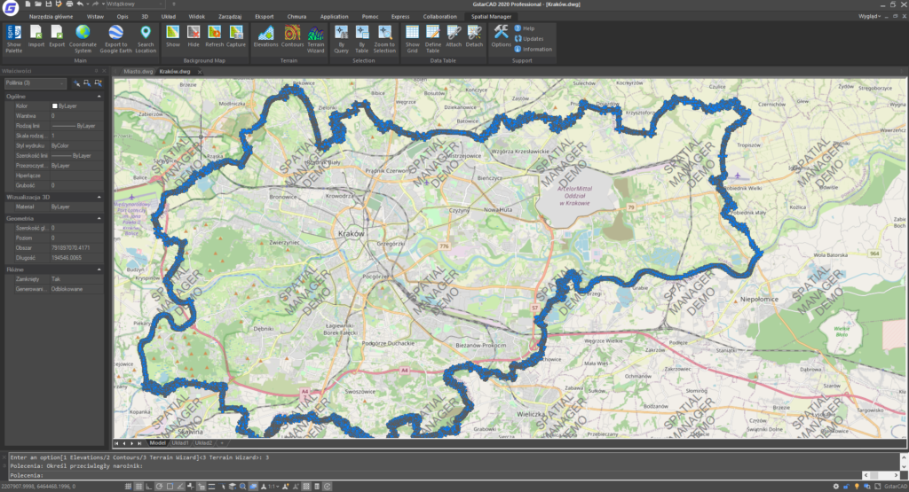
Great ease of use of background map
Location search option
Terrain features, also 3D points from elevation services, DTM grids, contours and more
Ability to publish to Google Earth
XDATA alphanumeric data tables (easy management of tables and data fields, included data viewer and editor).
Job saving option to facilitate multiple data imports
Perpetual license, pay once and get the overlay on your own
Industry: surveying