
Program Features:
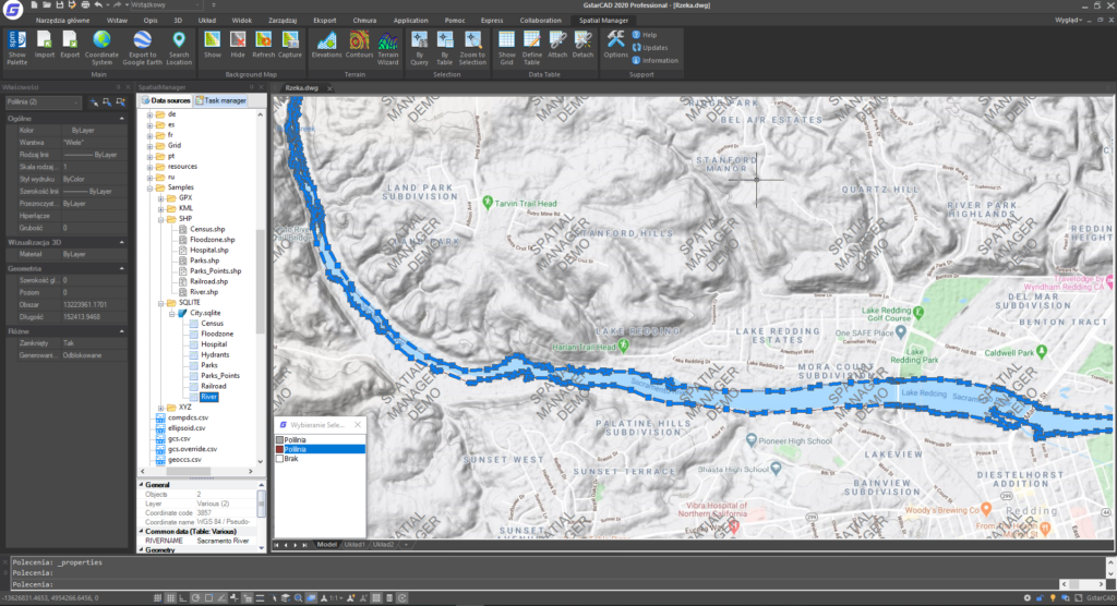
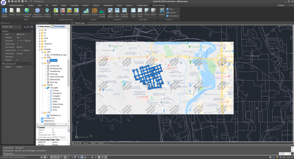
- Import spatial data into GstarCAD from various sources including Google Earth (KML/KMZ), OpenStreetMap (OSM/PBF), Shapefiles (SHP), GPS points (multiple formats), Excel, Access, ESRI ArcInfo®, MapInfo, GML, PostGIS, SQL Server, SQLite, and many others.
- Export data from GstarCAD to Google Earth (KML/KMZ), Shapefiles, points, MapInfo, PostGIS, SQL Server, SQLite, etc.
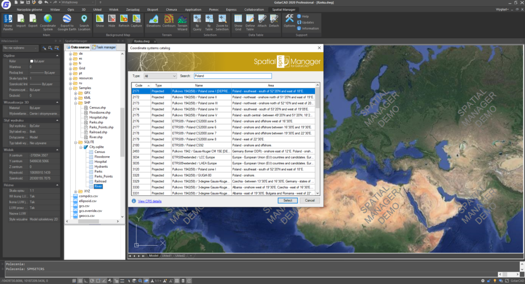
- Coordinate system transformations.
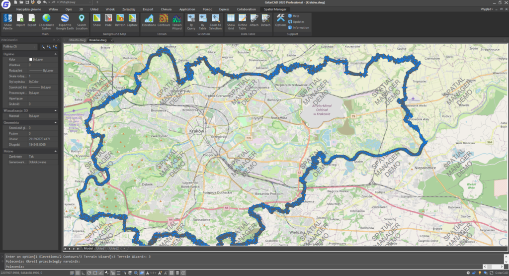
- Easy-to-use background maps with location search.
- Support for terrain features including 3D points from elevation services, DTM grids, contours, and more.
- Publish data directly to Google Earth.
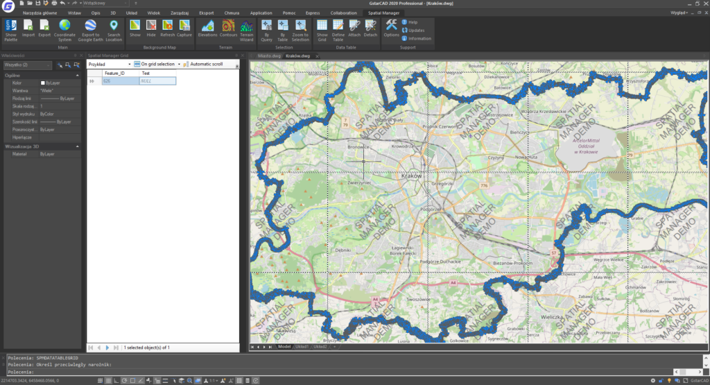
- Manage alphanumeric XDATA tables with built-in viewer and editor.
- Save jobs to facilitate repetitive data imports.
- Perpetual license — pay once and own the overlay.
Industry: Surveying